
Cloud camera
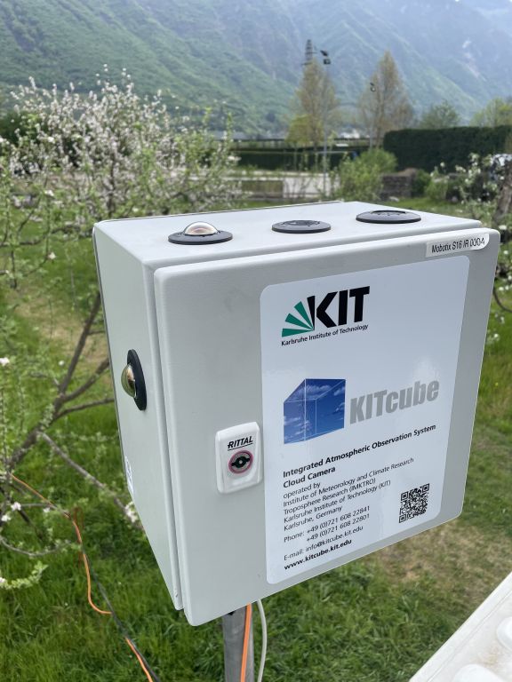
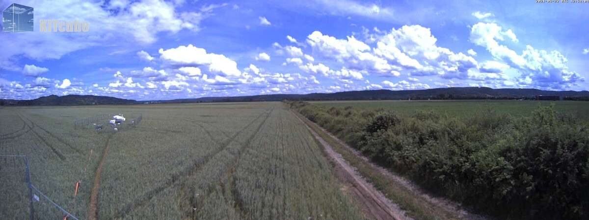
To document the cloud view for analyses of cloud types and the determination of the cloud cover, KITcube operates automatic cloud camera systems (Fig. 1). Images are taken in the visible as well as in the infrared wavelength range. Particularly in combination with the active remote sensing instruments cloud radar, ceilometer, Doppler lidar, additional information of the sequence of atmospheric processes can be retrieved. The infrared images allow cloud observations also at night and enable to associate the cloud bases with heights.
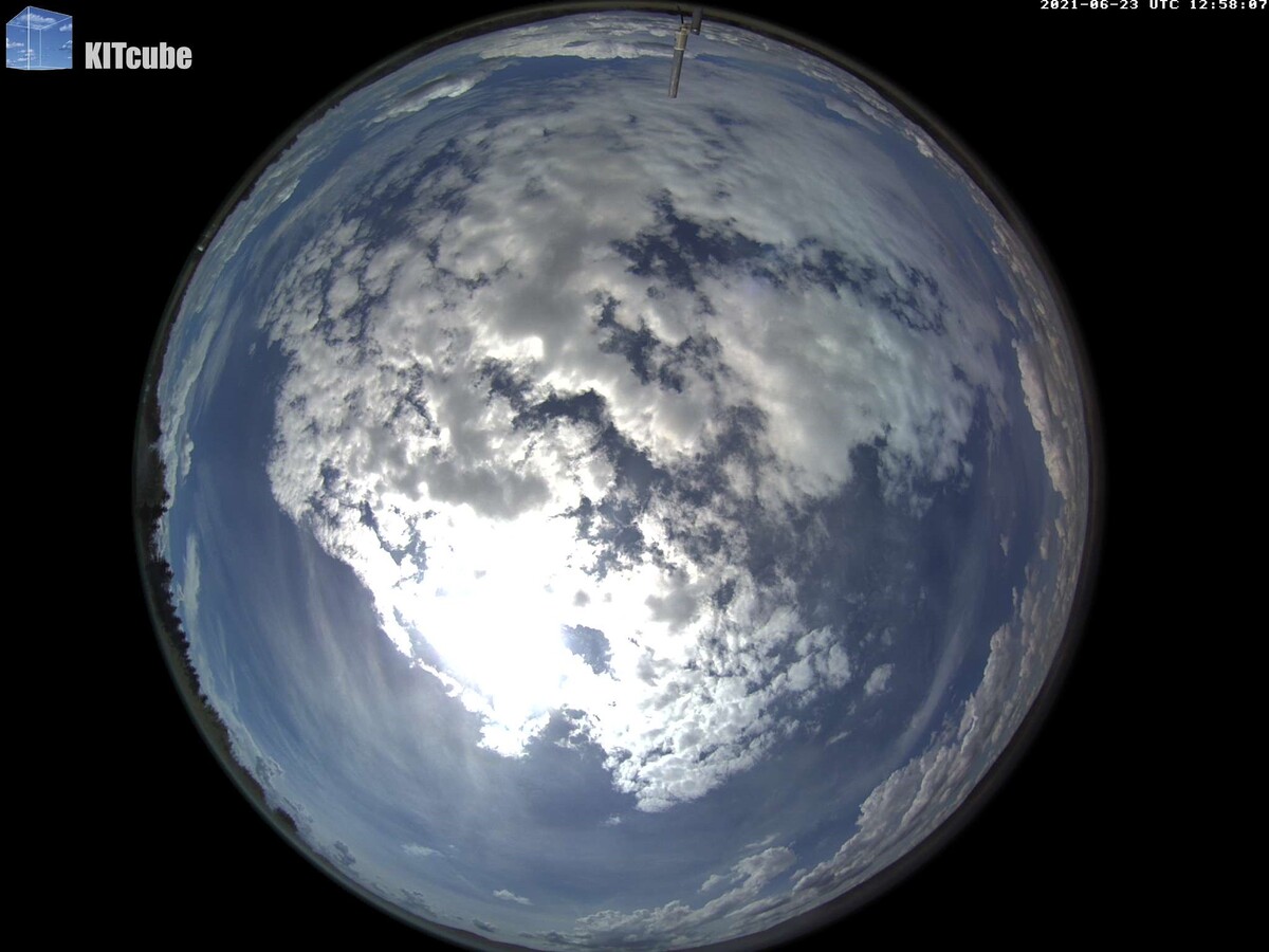
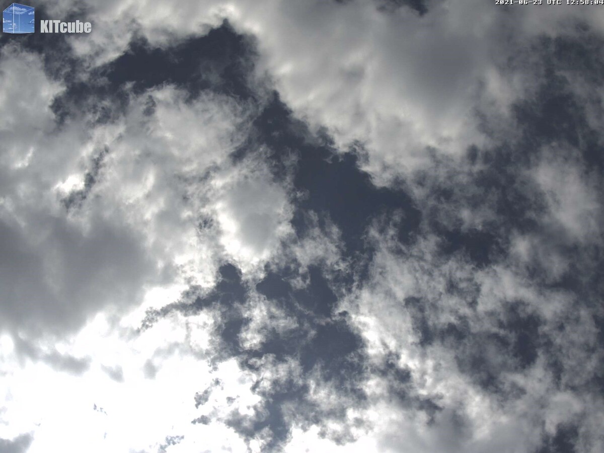
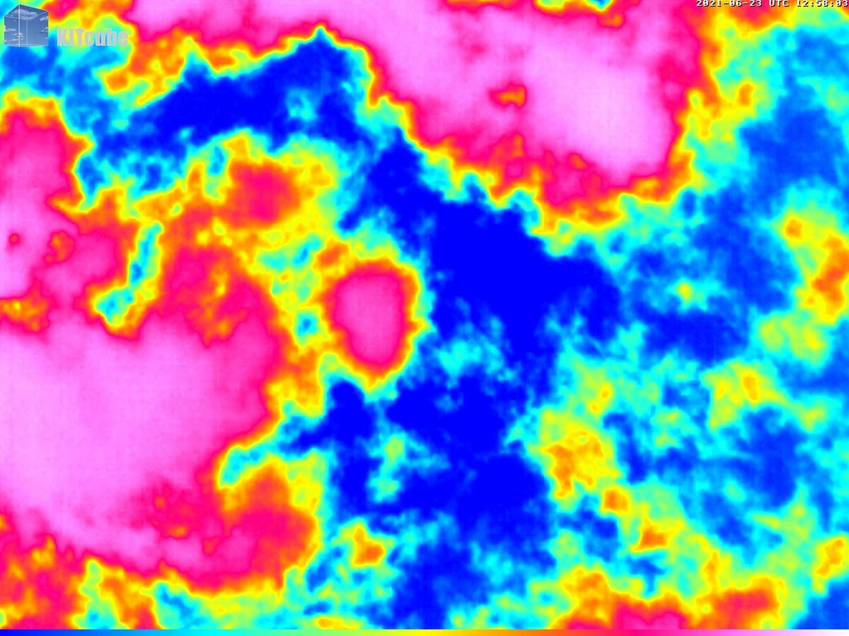
The cloud cameras take different images. Figures 2 to 5 show the cloud view at Rottenburg (Swabian MOSES 2021) on 23rd June 2021, 12:58 UTC. Fig. 2 shows the fisheye view. Fig. 3 shows the vertical cloud view in the visible range, Fig. 4 in the infrared range. Fig. 5 shows the panorama view.